You can leverage innovative campus map technologies to enhance accessibility and sustainability. With a $12,500 grant, universities can develop GIS platforms featuring real-time data, interactive maps, and live transit tracking. These technologies promote efficient navigation and emergency response. Thorough digital maps with up-to-the-minute updates on parking and transit information, combined with live campus cameras, provide seamless user experiences. Customizable interfaces and ESRI data integration offer precise spatial analytics and operational efficiencies. Students get hands-on GIS experience, fostering community and sustainability. Learn more about transforming campus navigation and safety with these cutting-edge solutions.
Key Takeaways
- Real-time Parking Information: Provides up-to-the-minute parking space availability via mobile devices, reducing time spent searching for parking.
- Transit Integration: Live GPS tracking for campus buses, enhancing navigation and promoting public transit use.
- Live Campus Cameras: Real-time video feeds of campus areas enhance safety, security, and user experience.
- ESRI Data Integration: Offers precise spatial analytics, supporting operational efficiency and informed decision-making.
- Customizable User Interface: Tailored navigation experience with institution branding, enhancing user interaction and navigation.
Sustainable Campus Mapping
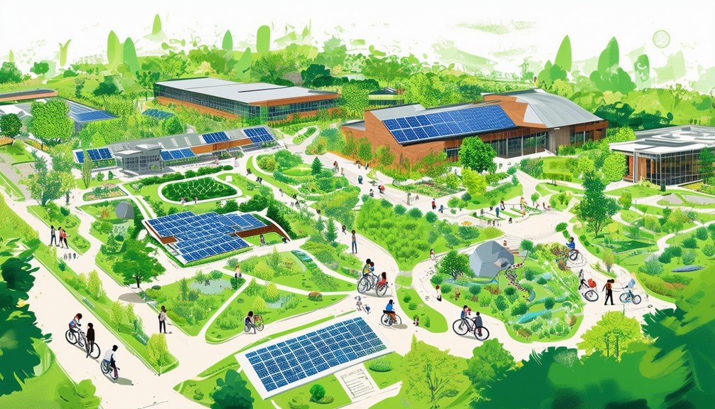
Thanks to a $12,500 Sustainability Research grant, UHCL is developing a GIS platform that will create a digital map of the campus to enhance accessibility and sustainability. This innovative project focuses on building an interactive map that will manage spatial data across UHCL’s campus. The goal is to provide a detailed digital representation of key infrastructure elements like streets, parking areas, fire hydrants, and evacuation routes.
You’ll find the interactive map particularly beneficial for efficiently exploring the campus. It’s not just about convenience; it’s also a strategic tool for improving safety and sustainability. With real-time updates, the map will offer current data about campus facilities, making it easier to plan routes and locate essential services.
This GIS platform is designed with public accessibility in mind. UHCL staff will regularly update the GIS database, ensuring that the map remains a reliable resource for everyone. The interactive map will also serve as an educational tool, providing students with practical experience in GIS technology. This hands-on learning opportunity will foster internal collaborations and drive momentum in sustainability research, amplifying UHCL’s community impact.
GIS Technology Benefits
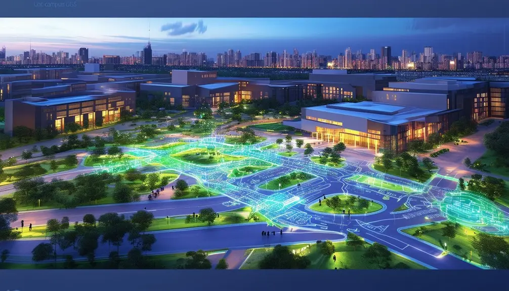
GIS technology offers numerous benefits by providing detailed, real-time spatial data that enhances campus accessibility, safety, and sustainability. By using a GIS platform, you gain access to intricate details on streets, parking areas, fire hydrants, and evacuation routes, all vital for efficient navigation and emergency response. This data supports not just daily operations but also long-term planning and incident management.
At the University of Houston-Clear Lake (UHCL), a $12,500 Sustainability Research grant funded the development of a GIS platform aimed at creating a thorough digital map of the campus. This GIS database will be accessible online, ensuring that everyone from students to maintenance staff can easily obtain necessary information. The platform will be university-owned, allowing for tailored applications like wayfinding and infrastructure maintenance.
Students at UHCL will particularly benefit, as they’ll gain hands-on experience with GIS technology, making the campus a living laboratory. This practical exposure not only enriches their academic journey but also prepares them for real-world applications. Implementing GIS technology notably boosts campus efficiency, minimizes accidents, and supports sustainability initiatives, fostering internal collaborations and advancing research momentum.
Comprehensive Digital Maps
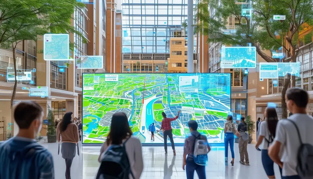
With a Sustainability Research grant, you can expect UHCL’s new GIS platform to integrate real-time data, greatly enhancing user navigation. The digital map will offer precise, up-to-date information, streamlining how you find your way around campus. This authoritative base map will be accessible online, ensuring you have the latest data at your fingertips.
Real-Time Data Integration
Leveraging live data integration, UHCL’s extensive digital map will offer dynamic updates on campus navigation, resource availability, and emergency routes. This integration greatly enhances the usefulness of the digital map, making it an essential tool for students, faculty, and visitors.
By incorporating live data, the GIS platform funded by the $12,500 Sustainability Research grant will ensure that the information is always current and accurate. These updates will cover various aspects of campus infrastructure, including:
- Navigation: Real-time updates on street conditions and closures.
- Resource Availability: Live data on parking space occupancy.
- Maintenance: Instant notifications about ongoing maintenance work.
- Safety: Immediate alerts for emergency evacuation routes.
The system aims to make UHCL’s campus more efficient and sustainable by providing up-to-date information. For example, by checking which parking lots are full, you can save time and reduce emissions by heading straight to available spaces. Furthermore, the map’s integration with emergency services means you can quickly find the safest evacuation routes when needed.
With this live data integration, UHCL is not just enhancing campus efficiency but also transforming it into a dynamic living laboratory, where you can gain practical experience with cutting-edge GIS technology.
Enhanced User Navigation
The detailed digital map at UHCL aims to streamline campus navigation by providing precise, real-time data on streets, parking availability, fire hydrants, and evacuation routes. This thorough GIS database, funded by a Sustainability Research grant, enhances both accessibility and sustainability on campus. You can access this authoritative GIS database online, ensuring that you have the most up-to-date information for efficient navigation.
Unlike a standard Google map, this digital map integrates UHCL-specific data, offering you detailed insights that go beyond basic geographical information. Highlighting critical infrastructure such as fire hydrants and evacuation routes, the map minimizes the risk of accidents and boosts operational efficiency. It’s a tool designed not just for students but for staff and emergency services too.
Students at UHCL also benefit from hands-on experience with GIS technology, making the campus a dynamic learning environment. This practical application fosters a robust research community, encouraging internal collaborations and future partnerships. By utilizing GIS technology, UHCL creates a living laboratory for various courses, setting a foundation for long-term research and educational advancements. This initiative underscores the university’s commitment to leveraging technology for enhanced user navigation and overall campus safety.
Community and Education
Through the integration of GIS technology at UHCL, students, faculty, and visitors will benefit from enhanced community resources and educational opportunities. By leveraging a dynamic campus map, you’ll find it easier to navigate and explore all that UHCL has to offer. This innovative tool doesn’t just help you get around—it opens up new avenues for learning and collaboration.
Students can gain practical experience by using GIS technology for various projects, which can deeply enhance their understanding of spatial data and its applications. Courses across multiple disciplines can utilize this technology to foster a hands-on learning environment, making abstract concepts more tangible.
GIS technology also encourages internal collaborations, particularly in sustainability research, a key focus at UHCL. This fosters a robust research community that benefits everyone involved.
Here are some specific benefits:
- Enhanced Learning: Courses can incorporate real-world GIS applications, enriching the educational experience.
- Practical Experience: Students can work on projects using the campus map, gaining valuable skills.
- Collaborative Research: Facilitates interdisciplinary projects, particularly in sustainability.
- Community Building: Encourages partnerships and strengthens the research community.
Real-time Parking Information
Accessing up-to-the-minute parking information on your mobile device can significantly decrease the time spent searching for available parking spaces. By leveraging live parking feeds, you can view current data on space availability, making sure you head directly to an open spot without unnecessary detours.
For instance, Arizona State University utilizes color-coded indicators on its interactive map to showcase parking availability. Green, yellow, and red colors indicate high, moderate, and low availability, respectively, allowing you to make well-informed decisions quickly. This color-coded system is not only visually intuitive but also technically robust, integrating real-time data to maintain accuracy.
The precise numbers of open parking spaces are accessible directly from your mobile device, providing a level of precision that traditional methods can’t match. This real-time parking information plays a pivotal role in event management, helping guide visitors to less congested areas and smoothing traffic flow.
Ultimately, having access to real-time parking information enhances your overall campus experience. It minimizes the time spent circling parking lots, reduces frustration, and optimizes the use of available resources. This technology ensures you’re always well-informed, making your visit more efficient and pleasant.
Transit Integration
Incorporating real-time bus tracking and public transit routes into campus maps can greatly enhance your navigation experience. With GPS tracking, you can view live transit information and estimated arrival times directly on your mobile device. Institutions like Rice University have implemented these features, resulting in improved transit efficiency and reduced parking demand.
Real-time Bus Tracking
Real-time bus tracking on campus maps leverages GPS technology to provide users with precise, up-to-the-minute information on bus and shuttle routes, greatly enhancing transportation efficiency. By integrating live transit feeds into the campus map, institutions like Rice University allow you to view bus and shuttle routes along with estimated arrival times directly on your mobile device. This level of detail ensures that you won’t miss your ride or waste time waiting at the bus stop.
You can enjoy several benefits with this technology:
- Immediate Access: Get real-time updates on bus locations and ETAs.
- Route Optimization: Plan your journey effectively by knowing the current routes.
- Convenience: Access all this information through interactive campus maps.
- Reduced Congestion: Promote public transit use, helping to alleviate parking issues.
Being able to see live bus information integrated into campus maps promotes an efficient and user-friendly transportation system. This technology doesn’t just make your life easier; it also supports broader environmental goals by encouraging the use of public transportation. You’ll find that the ability to view exact bus arrival times and routes significantly improves your campus experience, making daily commutes less stressful and more predictable.
Public Transit Routes
Integrating public transit routes into campus maps offers a seamless way for users to view real-time bus and shuttle schedules, enhancing overall transportation efficiency. By leveraging GPS tracking technology, you can see bus and shuttle routes along with estimated arrival times directly on your mobile device. This integration is particularly useful on campuses with limited parking, as it promotes the use of public transit.
Institutions like Rice University in Texas have already set a precedent by offering real-time bus information on interactive maps, greatly improving the user experience for riders. These maps provide live updates on bus locations and schedules, allowing you to plan your journey with precision.
Real-time transit feeds contribute to a more efficient transportation system by minimizing wait times and enabling timely decision-making. GPS tracking ensures you can monitor bus movements in real-time, thereby helping visitors and students navigate the campus more effectively.
Integrating public transit routes into campus maps not only aids in reducing the dependence on personal vehicles but also enhances the overall accessibility and convenience of campus transportation systems. With real-time data at your fingertips, finding your way around the campus becomes a streamlined experience.
Live Campus Cameras
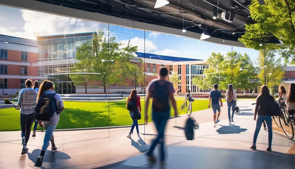
Live campus cameras deliver real-time video feeds of various campus areas, enhancing the interactive map experience for users. By integrating live feeds, universities provide a dynamic and engaging way to explore campus life. For instance, Ole Miss uses live cameras to show real-time conditions at coffee shops and ongoing construction projects. This technology benefits prospective students by giving them a real-time glimpse of the campus atmosphere, aiding in their decision-making process.
You can leverage live campus cameras to get immediate insights into daily activities and events. Here are some practical features:
- Real-time Updates: Access up-to-the-minute video feeds of key areas, from libraries to dorms.
- Event Monitoring: Keep an eye on-campus events, helping you plan your participation.
- Queue Management: Check live feeds of coffee shop lines to decide the best time for a visit.
- Safety and Security: Monitor less crowded areas, enhancing your personal safety.
These real-time video feeds contribute to a more engaging and informative user experience on interactive maps. The ability to see the campus in action, rather than relying solely on static images, transforms how you interact with the university environment.
ESRI Data Integration
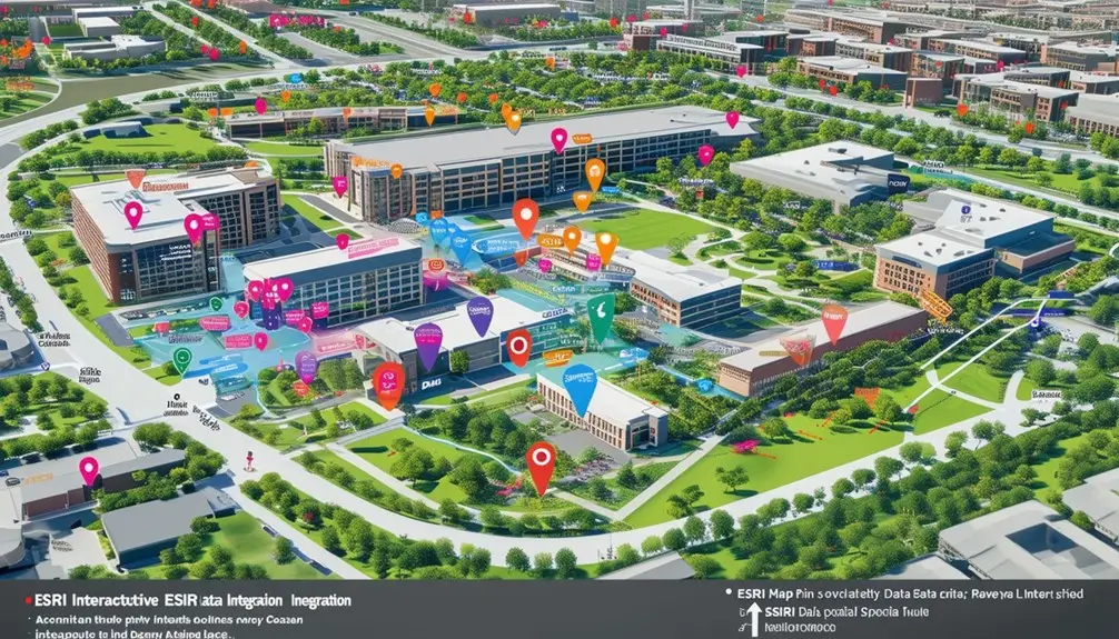
ESRI’s ArcGIS software empowers campus maps with precise spatial analytics and detailed data sets, enhancing decision-making and operational efficiency for facilities management. By integrating ESRI data feeds, you can turn ordinary campus maps into robust tools that provide actionable insights. These extensive data sets offer a wealth of information, from building layouts to utility networks, that can be accessed and utilized by various departments.
With ESRI data integration, your campus maps become more than just navigational aids. They transform into dynamic resources that support the operational needs of facilities professionals. For example, you can easily monitor and manage maintenance schedules, track energy usage, and optimize space allocation. The integration also facilitates real-time data sharing campus-wide, ensuring that everyone from administrators to technicians is on the same page.
Leveraging ESRI’s spatial analytics capabilities allows for predictive maintenance, helping you spot potential issues before they become costly problems. Whether you’re planning new construction or managing an existing facility, the detailed data sets from ESRI integration provide the insights needed for informed decision-making. Ultimately, ESRI data integration enhances your campus maps, making them indispensable tools for operational efficiency and strategic planning.
Customizable User Interface
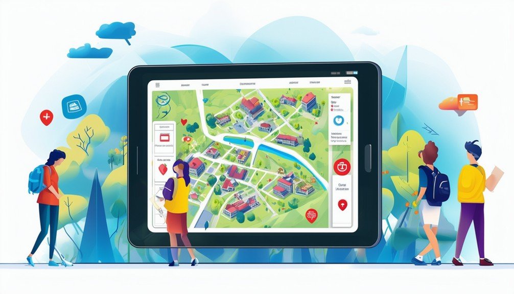
You can create a tailored navigation experience by customizing the user interface to reflect your institution’s branding. This personalization includes incorporating logos, colors, and interactive map features that engage users effectively. By utilizing data-driven design and simplified content management, you enhance user interaction and streamline map navigation.
Tailored Navigation Experience
Customizable user interfaces in campus map technologies allow users to tailor their navigation experience to align with individual preferences and needs. By adjusting UI elements, you can create a user experience that is not only engaging but also intuitive and efficient. This customization enhances user satisfaction by allowing you to interact with the map in ways that best fit your specific requirements.
To achieve a tailored navigation experience, consider these customizable features:
- Personalized Routes: Adjust routes based on your preferences, whether you prefer the fastest path or the most scenic route.
- Accessibility Options: Enable features that cater to specific needs, such as wheelchair-accessible paths or auditory navigation for visually impaired users.
- POI (Point of Interest) Selection: Choose which points of interest are displayed to prioritize the locations most relevant to you, like dining halls, libraries, or specific academic buildings.
- Map Themes: Select from various map themes to enhance visual comfort and appeal, making it easier to navigate and enjoy the campus.
These features provide a user-friendly and interactive map interface, ensuring that your navigation experience is both personalized and efficient. The data-driven approach to customization in campus map technologies enhances overall user engagement and satisfaction.
Personalized Campus Branding
Integrating personalized campus branding into map technologies allows institutions to seamlessly incorporate their unique identity and visual elements, creating a cohesive and engaging user experience. By leveraging branded campus maps, you can tailor your map interface to reflect your institution’s colors, logos, and themes. This customization not only enhances visual appeal but also establishes a consistent brand presence throughout the user’s interaction with the map.
Customizable user interfaces in branded campus maps provide the flexibility needed to create unique user experiences. You can highlight specific areas of interest, such as academic buildings, dormitories, and recreational facilities, with icons and markers that align with your institution’s branding. This makes the map not just a navigational tool, but a powerful visual narrative that helps prospective students visualize themselves on your campus.
Incorporating branding elements into the campus map design can make critical information more appealing and relevant. Prospective students are more likely to engage with and remember a map that visually resonates with the institution’s identity. By offering a branded and customized map experience, you can effectively attract and engage prospective students, aiding them in their decision-making process.
Interactive Map Features
When exploring interactive map features, institutions can leverage customizable user interfaces to enhance user engagement and streamline navigation. Customizable user interfaces in campus maps allow you to tailor the design to match your institution’s identity, creating a seamless experience for users. These interfaces can be adjusted to meet the specific needs of different user groups, whether they are prospective students, current students, or faculty.
Customizable features of campus maps include:
- User-Friendly Design: Simplify navigation with intuitive layouts that cater to various user preferences and accessibility needs.
- Cloud-Based Accessibility: Guarantee that your interactive maps are accessible on any device without requiring additional hardware, thanks to cloud-based design.
- Media Library Management: Use an intuitive media library to organize content efficiently, making it easier for users to find relevant information.
- Unique User Experiences: Personalize features to provide unique experiences, such as virtual tours, event notifications, or real-time updates, enhancing overall engagement.
Future Enhancements
Future enhancements to UHCL’s campus map technology will focus on adding new data layers and implementing a robust governance process to guarantee reliability and user satisfaction. One exciting addition will be virtual tours, which will allow prospective students and visitors to explore the campus remotely. These tours will integrate seamlessly with the existing map, offering an immersive experience that highlights key facilities and landmarks.
As part of TRecs’ commitment to continuous improvement, new layers will be rolled out over time. This will make the map more dynamic and versatile, catering to the needs of diverse user groups. For example, layers could include real-time information on available parking spaces, locations of campus events, and accessibility routes.
A governance process is being established to evaluate and validate data sets, ensuring the map remains accurate and user-friendly. This process involves rigorous checks and balances to maintain high standards of reliability.
Empowering staff with increased control over updating and maintaining the map content will also drive future enhancements. By enabling timely updates and ensuring data integrity, you’ll find the map becomes an indispensable tool for navigation and information.
Conclusion
Imagine you’re rushing to a lecture and seamlessly locating an open parking spot thanks to real-time data. With GIS technology and detailed digital maps, campus navigation becomes effortless. Integrating ESRI data and customizable interfaces guarantees students and staff access to precise, sustainable tools. These innovations build a connected, efficient campus community. As we look forward, enhancements like live cameras will continue to elevate the campus experience, making every journey smoother and more informed.
Frequently Asked Questions
What Is the Latest Technology Used in Map?
Are you looking for the latest in map technology? Check out ESRI’s ArcGIS software. It integrates detailed spatial data and analytics, enabling customized data layers, improved decision-making, and enhanced resource management for various campus departments.
What Is a Map Campus?
A campus map is a digital tool that visually represents a university or college campus. You can navigate efficiently, find specific locations, and plan routes. Modern maps include search functions, real-time updates, and additional interactive features.

