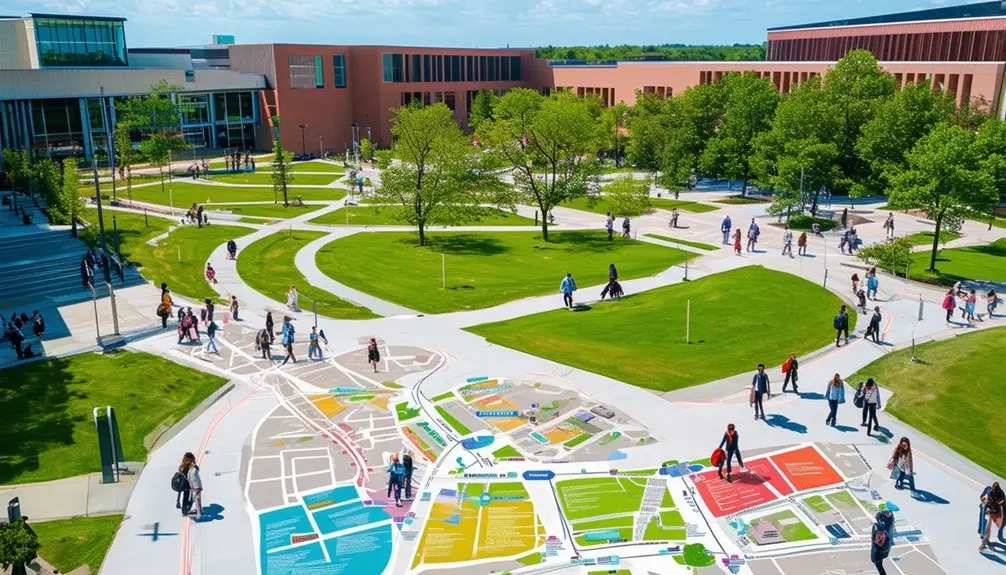
Exploring large college campuses is a breeze with advanced campus map apps. These apps offer real-time positioning, indoor maps, and A-B wayfinding to help you locate specific locations quickly. Detailed 2D and 3D maps, along with regular updates, guarantee you always have the latest information. Indoor positioning systems enhance safety by monitoring occupancy and providing real-time alerts. You’ll also benefit from up-to-date notifications about events and potential hazards. All these features make campus exploration seamless and stress-free. Explore further to uncover more innovative ways these tools can enhance your campus experience.
Table of Contents
ToggleKey Takeaways
- Implement real-time positioning and A-B wayfinding for precise and easy navigation.
- Provide interactive indoor maps with detailed information on facilities and amenities.
- Offer smart search capabilities to quickly locate specific rooms and points of interest.
- Use geo-referenced 3D maps for accurate visualization and enhanced user experience.
- Integrate virtual tours for immersive navigation and orientation for new visitors.
Campus Navigation App Development
Developing a campus map app can revolutionize how students and visitors navigate large college campuses. These apps provide thorough indoor maps and real-time positioning, making it simple for users to navigate intricate buildings. With A-B wayfinding and intelligent search features, you can swiftly locate specific rooms, lecture halls, and facilities.
When you commence campus map app development, strong developer support is essential. It guarantees smooth integration with existing campus apps and facilitates ongoing maintenance. Accurate indoor mapping is vital, not just for navigation but also for enabling virtual tours, enhancing prospective students‘ and visitors’ experiences.
Effective wayfinding relies on real-time positioning to guide users accurately, even within large, multi-story buildings. Indoor maps need to be detailed and regularly updated to reflect any changes in the campus layout. This attention to detail ensures that users can rely on the app for their navigation needs.
Virtual tours can be a standout feature, offering a preview of the campus to prospective students and visitors before they even set foot on the grounds. By focusing on these elements, your campus map app can become an indispensable tool for enhancing the college experience.
Data Collection and Digitization
You’ll start by collecting 2D maps and floor plans of the entire campus to guarantee exhaustive data for mapping. Next, transform these into accurate 3D maps to improve navigation precision. You’ll create a seamless indoor-outdoor navigation experience by geo-referencing and connecting multiple buildings.
Comprehensive Campus Mapping
Collecting detailed 2D maps of the entire campus and floor plans of individual buildings is crucial for creating accurate and user-friendly campus direction systems. You’ll need thorough data gathering to list all facilities and points of interest. This data forms the backbone of an effective indoor campus map. By converting these 2D floor plans into visually appealing 3D maps, you enhance the visualization, making college wayfinding more user-friendly.
Geo-referencing these maps to scale is vital for accurate indoor positioning, ensuring smooth movement throughout the campus. Connecting multiple buildings within the mapping system enables efficient indoor-outdoor direction, which is invaluable for students and visitors alike. Up-to-date information is essential; regular updates ensure that users always have the latest details at their disposal.
The process of 2D to 3D maps conversion not only enhances the visual appeal but also aids in providing detailed and accurate information. These maps are indispensable for anyone finding their way around the campus, offering a clear and concise way to move from one location to another. Ultimately, integrating these elements results in a cohesive and highly functional campus direction system that simplifies your college experience.
Accurate 3D Map Conversion
Precise 3D map conversion begins with meticulously collecting and digitizing detailed 2D maps and constructing floor plans. By transforming these into visually captivating 3D maps, you guarantee that the campus navigation experience is both immersive and practical. Detailed information is vital; it allows for precise indoor positioning, making A-B wayfinding a breeze.
Experts upload the gathered data, incorporating specific location, styling, and branding elements to maintain uniformity throughout the map. Geo-referenced maps to scale are necessary for accurate indoor positioning, enabling smooth navigation between multiple buildings. Whether you’re transitioning from one lecture hall to another or locating the library, the accuracy of these 3D maps ensures you won’t lose your way.
The shift from indoor to outdoor navigation is another crucial aspect. With precise 3D maps, you can seamlessly navigate between indoor and outdoor spaces, enhancing the overall campus navigation experience. These maps not only offer precise information but also simplify the navigation process visually. Ultimately, investing in detailed, precise 3D map conversion creates a user-friendly environment that greatly enhances campus navigation.
Custom Campus Map Features
When you use custom campus map features, you’ll benefit from real-time positioning that helps you navigate seamlessly from one location to another. Interactive mapping makes it easy to find your way around, offering smart search options and A-B wayfinding for a smoother experience. These tools can be integrated into apps or websites, enhancing your overall campus navigation.
Real-time Positioning Advantages
Real-time positioning on custom campus maps revolutionizes the way students and visitors navigate the complex layouts of college campuses. With accurate indoor wayfinding, you can effortlessly find your way through sprawling buildings and labyrinthine hallways. Custom campus maps feature A-B wayfinding, providing step-by-step directions from one location to another, ensuring you never get lost.
Imagine needing to find a specific building or room quickly; the smart search capabilities make it a breeze. Just type in the name, and the map will guide you right there. For those new to the campus or prospective students, virtual tours offer immersive experiences, allowing you to explore the campus from the comfort of your home.
Real-time positioning also plays a critical role in maintaining campus safety, especially in the context of COVID-19. Contact monitoring software integrated into the maps can notify you if you’ve been in proximity to someone who has tested positive, helping to mitigate virus spread.
Interactive Mapping Benefits
Interactive campus maps frequently offer a variety of benefits that enhance navigation, improve user engagement, and provide a smooth experience for students and visitors alike. With custom campus map apps, you can enjoy features like real-time positioning and intelligent search, which make finding specific locations a breeze. These apps also often include virtual tours, allowing prospective students and visitors to explore the campus from anywhere.
Custom campus map apps are designed for smooth integration with existing websites or as standalone applications. This guarantees that indoor navigation is accessible on various devices, providing a user-friendly experience for everyone. By partnering with a high-quality wayfinding solution provider, you can access tools like digital directories and A-B wayfinding, which simplify campus navigation.
Here are some key benefits of interactive campus maps:
- Real-time positioning: Know exactly where you are and how to get to your destination.
- Intelligent search: Quickly find buildings, facilities, and other points of interest.
- Virtual tours: Explore the campus remotely, which is especially useful for new visitors.
- Indoor navigation: Navigate inside buildings with ease.
- Smooth integration: Access maps directly from existing websites or custom apps.
These features guarantee that your campus navigation experience is both efficient and enjoyable.
Safety and Monitoring
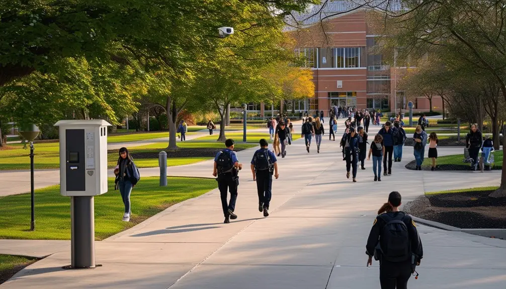
Indoor positioning systems revolutionize campus safety by enabling real-time occupancy monitoring and contact tracing, helping to prevent potential outbreaks and enforce social distancing. With indoor positioning, campuses can implement effective contact monitoring software that provides real-time alerts, guaranteeing immediate action when safety measures are breached. By tracking occupancy levels, these systems help maintain proper social distancing, particularly in high-traffic areas.
High-traffic areas, like dining halls and libraries, can be identified and managed more effectively. Indoor positioning helps you understand the usage patterns of these spaces, allowing for better budget allocations for services and facilities. This data-driven approach not only enhances safety but also ensures resources are used efficiently.
By analyzing usage patterns, campuses can proactively address issues before they escalate, further preventing outbreaks. For instance, if data indicates a particular area consistently exceeds safe occupancy levels, measures can be taken to redistribute foot traffic. These proactive steps, powered by indoor positioning technology, are essential in enforcing safety measures across the campus.
Incorporating indoor positioning systems into campus infrastructure is a strategic move that aims to create a safer, more efficient environment for everyone. Through these technologies, you can take a significant step toward a safer, more responsive campus.
Enhanced Communication and Engagement
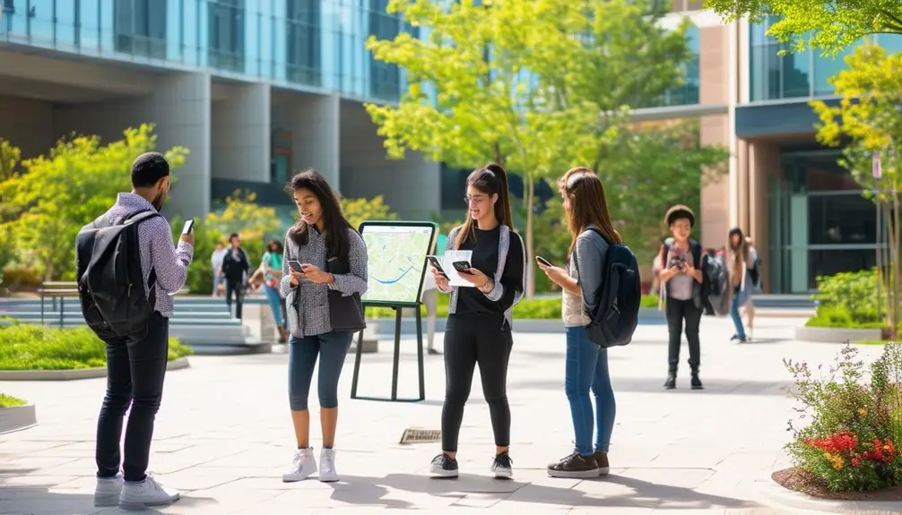
Blue Dot technology greatly improves communication and engagement on college campuses by sharing precise location information for efficient assistance and interaction. This technology integrates indoor maps and interactive maps, which can provide real-time alerts to students and staff, enhancing both safety and security. By receiving timely notifications, you can stay informed about nearby events, promotions, or emergency situations, making sure you’re always in the loop.
Here are some key benefits:
- Real-time alerts: Receive immediate notifications about important events or emergencies.
- Targeted marketing: Get updates on promotions or activities tailored to your location.
- Enhanced safety and security: Stay informed about potential hazards or safety protocols.
- Boosted foot traffic: Increased interest in campus events through engagement-driven notifications.
- Efficient communication: Guarantee quick responses and coordination in various situations.
With Blue Dot technology, you can experience a more interconnected and responsive campus environment. Timely notifications and targeted marketing can drive your engagement with campus activities, making it easier to participate in events and promotions that interest you. Additionally, indoor maps and interactive maps provide an enhanced navigation experience, ensuring you can find your way and stay informed.
Mapping Solutions for Campuses
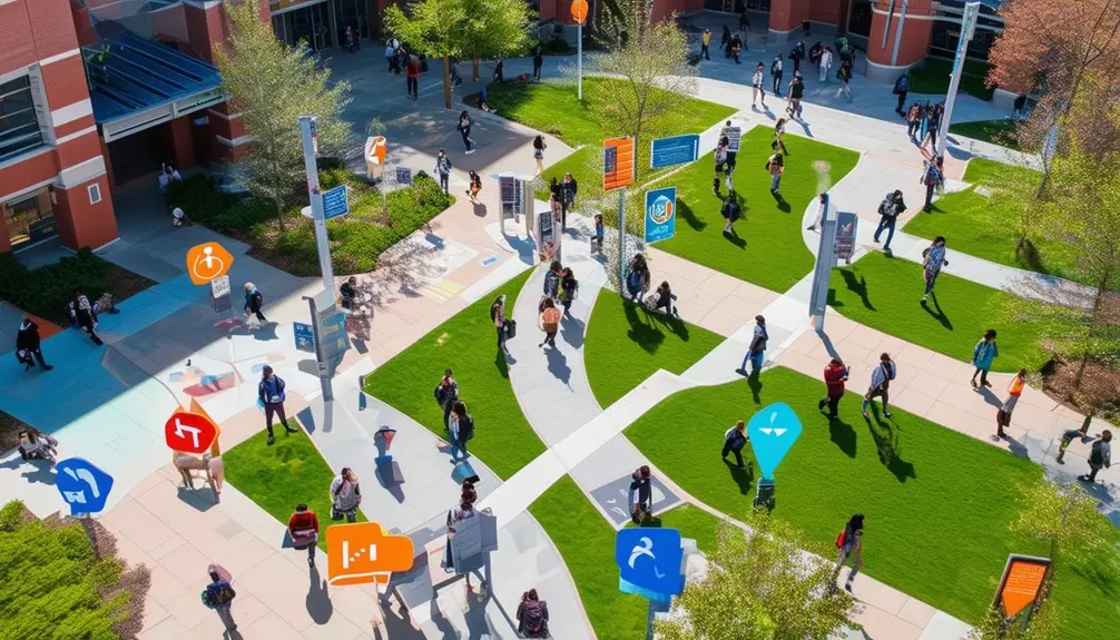
Finding your way around a sprawling college campus becomes a breeze with user-friendly mapping solutions designed to help you locate classes, facilities, and amenities effortlessly. These digital maps are tailored to meet the needs of students, faculty, and visitors, ensuring everyone can navigate the university grounds with ease.
Interactive campus maps offer detailed information on various facilities, including libraries, dining halls, and lecture rooms. Whether you’re a new student trying to find your first class or a visitor looking for the nearest restroom, these maps provide clear, concise directions. Indoor maps are particularly useful, guiding you through complex buildings and crowded hallways.
Digital mapping solutions also enhance the overall visitor experience by integrating real-time updates and interactive features. You can zoom in to view specific areas or search for particular facilities, making your navigation experience seamless and stress-free. Additionally, these maps often include information on campus amenities like Wi-Fi hotspots, study areas, and event locations, adding to their utility.
Incorporating these advanced navigation tools into your daily routine will save time and reduce the frustration of getting lost. With these interactive and detailed maps, you’ll master campus navigation in no time.
Conclusion
Exploring college campuses doesn’t have to be a maze of confusion. With campus exploration apps, you’ll breeze through your day. These apps integrate data collection, custom maps, and safety features to keep you informed and secure. Plus, they enhance communication and engagement, turning your phone into a Swiss Army knife for campus life. So, the next time you’re hunting for that elusive lecture hall, just remember, there’s an app for that!
Frequently Asked Questions
What Is the #1 Problem on College Campuses?
The #1 issue on college campuses is finding your way efficiently. You might struggle with locating specific buildings or facilities, especially when maps are outdated. Using GPS apps or digital maps can greatly enhance your experience and reduce stress.
How to Get Around Campus Quickly?
Use GPS apps like Google Maps to navigate quickly, track bus routes efficiently, and avoid missing stops. Save your frequent locations, optimize battery settings, and customize routes for a smoother, faster campus travel experience.
How Do You Find Your Way Around a College Campus?
Use campus navigation apps with indoor mapping features to locate buildings and facilities accurately. Rely on GPS apps for real-time traffic updates and customizable routes. Integrate public transportation schedules to plan your commute efficiently.
